Designing from the Cross-Section

The Subsurface as a Building Block for the Future-Proof City

The approach to urban transformation tasks is undergoing a major overhaul. After all, there is insufficient space to accommodate today’s major challenges – in the areas of climate, energy, circular economy, mobility and housing. It is high time we learned to look at our cities through three-dimensional glasses and to view the public space and buildings in relation to the subsurface. By tackling tasks from the cross-section (instead of the plan view), new and surprising solutions are brought to the table, which not only lead to an improvement of the living environment but also encourage multifunctional use of space.

Urban design, architecture, and landscape architecture student teams within the City of the Future Lab, and multidisciplinary design teams from practice have set to work in Amsterdam, Leuven, Maastricht, Mechelen, Ostend and Rotterdam. Together with academic and municipal experts, they have developed design propositions and exemplary solutions for city making in times of major transitions, and they have reflected on the importance of the subsurface and designing from the cross-section.

This design research resulted in a publication in Dutch. ‘Ontwerpen vanuit de Doorsnede’is the result of a collaboration between TU Delft, the COB Platform of Subsurface Construction, the Environmental Department of the Flemish Government, and the Delta Metropolis Association.

Title:
Ontwerpen vanuit de Doorsnede
De Ondergrond als Bouwsteen voor de Toekomstbestendige Stad

Order here: Donner Bookshop online

Partners:
Centrum voor Ondergronds Bouwen / COB Platform of Subsurface Construction
Departement Omgeving Vlaanderen / Environmental Department of the Flemish Government
Deltametropolis Association / Vereniging Deltametropool

Empowering Resilient Communities

Resilient Communities | Comunità Resilienti

Following earlier presentations of the Design of Public Space research group from Delft, Maurice Harteveld participates in the ‘Empowering Resilient Communities’ event organised at the Italian Pavilion at the 14th International Architecture Exhibition in Venice, on Friday 12 November, from 2 pm. As part of the international scientific committee of the pavilion, he will reflect on various Italian projects, which will be presented in this session. His review relates to a broader inventory of actions, which are being currently taken in the networks of public space to strengthen community resilience. Rotterdam serves as an exemplar, and as such these actions challenge the design of public space, and with that among others the disciplines of urban design, landscape architecture, and architecture.

The Italian Pavilion has organised the event as an opportunity to present and discuss some of the experiences already included in the research project Mapping Resilient Communities, while providing a platform for knowledge transfer and capacity development, especially in most vulnerable areas, in Italy and beyond, with the participation of UN-Habitat.

when:
Friday 12 November
14:00-17:00h

where:
17th International Architecture Exhibition
Italian Pavilion
Venice
Continue reading

Images of Port-Cities

In this video, you will get an explanation on how mental maps help us to (re)imagine port-cities in two steps: First, by explaining generally why people draw what they draw, and second, by explaining how images of port cities, as displayed in mental maps, are rooted and influenced by cultural frameworks of experience, and how they are biased according to the particular background of the beholder.

This educational video is part of the course Re-Imagining Port Cities: Understanding Space, Society and Culture available for free via online-learning TUDelft , and at the EdX MOOC platform. ©️ TU Delft, released under a CC BY NC SA license.

See also: the introduction video on Mental Mapping and the full MOOC on EdX: (Re)Imagining Port Cities: Understanding Space, Society and Culture

Mental Mapping

In this video, you hear more about the concept of a ‘mental map’, the mapping method, or the underlying theory, and why it matters, and how you can use it to educate others.

But before you watch, choose a port-city, and do a small exercise: sketch a map of your port city from memory.

If you have trouble getting started, just imagine you are walking through your port city. What would you see on the way? Are there specific elements or landmarks that stand out? Those are the kind of elements to include in your map. And don’t worry about getting all the details exactly right, it is just a sketch…

  • Do this all by yourself: close your laptop, put your tablet to sleep, turn your smartphone around, do not consult any books, and do not talk to anyone…
  • Draw your map on a blank, unlined sheet of paper, and don’t spend more than ten minutes on this task!

    Don’t worry about details; this map is not meant to be perfect!

    This educational video is part of the course Re-Imagining Port Cities: Understanding Space, Society and Culture available for free via online-learning TUDelft , and at the EdX MOOC platform. ©️ TU Delft, released under a CC BY NC SA license.

    See also: the subsequent video on Images of Port Cities and the full MOOC on EdX: (Re)Imagining Port Cities: Understanding Space, Society and Culture

  • Digital, Virtual, and Physical

    Physical Public Space X Virtual Space

    Urban designers and landscape architects observe physical public spaces as spaces that are able to accommodate accidental meetings, reveal places’ identity, provide impulsive on-the-spot choices, and allow human-nature interaction through wind or sunshine. However, the recent crisis unfolds the intertwining between physical public space and virtual space. During two days, we focus on the shift of the planner’s outlook on physical public space and virtual space.

    Join the webinars!
    When: Thursday, November 5 and 6, 9.00am – 6.00pm CET
    > Registration


    Bits of Public Space 3.0: Trailer, published by Polis on YouTube
    Video credits: Ioanna Kokkona

    Continue reading

    Domestic Public Space

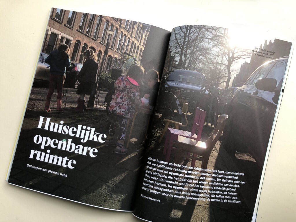
    If the current period teaches us, as colleagues, anything explicitly, it is that we must take account of a changed way of thinking on public space and housing. This shift presents us with a major challenge when it comes to further densification of the city. The existing urban fabric needs revision, even in areas where there is no increase in density. Public space is becoming more homely, and houses are becoming workplaces, so partly more public. We will pay more attention to the immediate living environment: the space in the vicinity.

    Read the article in Dutch:
    Harteveld, Maurice (2020, October) Huiselijke Openbare Ruimte. Ontwerpen aan Plekken Nabij. In: Ruimte + Wonen. #3/2020 Thema Publieke Ruimte, 101e Jaargang, Nummer 3, October 2020, pp. 72-79

    Ruimte + Wonen is a Dutch magazine and knowledge network for spatial professionals and housing experts, originated from the magazines S+RO and Tijdschrift voor de Volkshuisvesting. Go to ‘Ruimte + Wonen’ membership

    Among Academic Avatars


    The opening of another academic year, but – in 2020 – Delft students, academics, and others met in a replica virtual campus while searching for the TU Delft flames in a game.

    Architecture in Urban Change

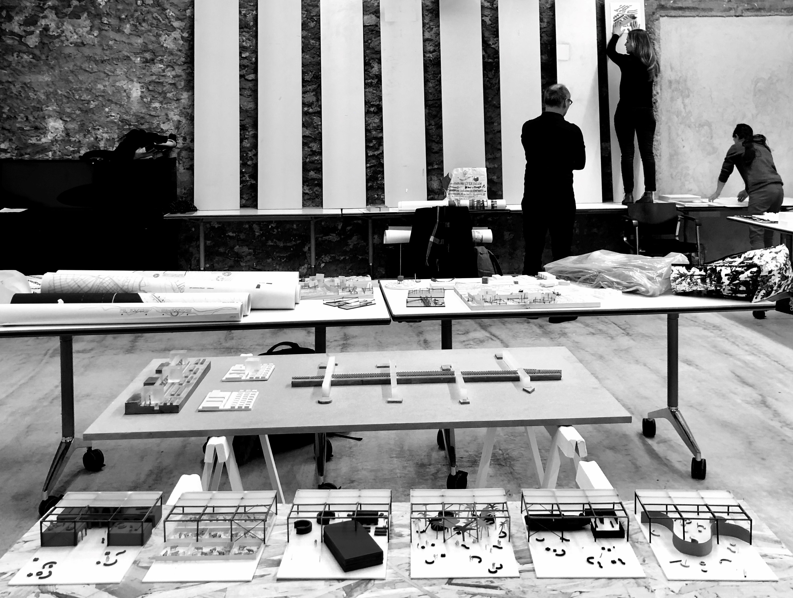
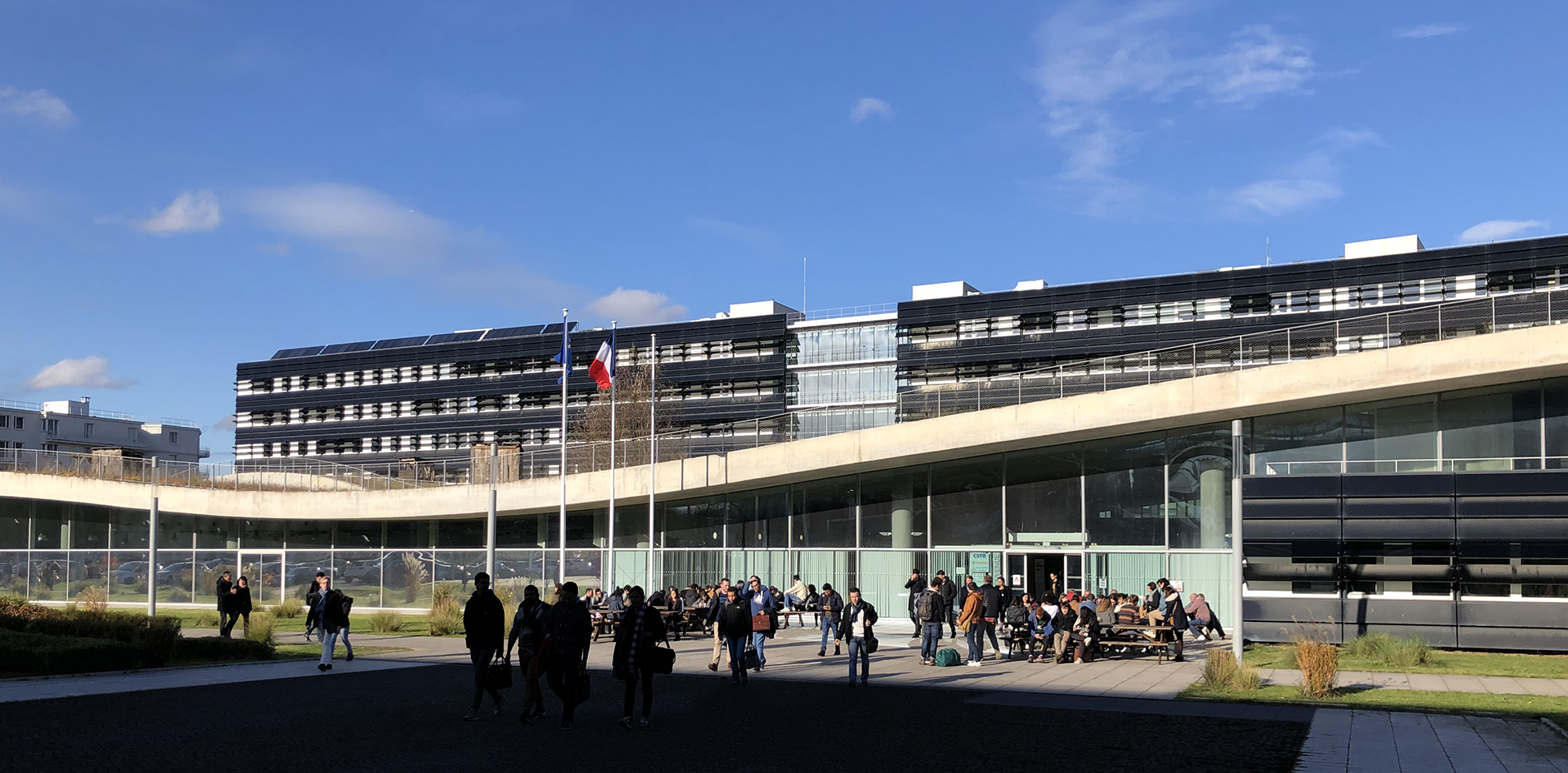
    Designers are questioning what architecture of relevance could face ongoing change over a longer period in today’s most dynamic urban areas. Of course, answers are always specific and the search on how to respond to constantly changing urban conditions may be the only issue that is shared in all cases. Yet, still, there must be more commonalities in the wide range of answers. The set of design propositions as presented at the Ecole Nationale Supérieure d’Architecture de Versailles (ENSA-V) underlines this, while designs display a few recognisable approaches. Projects put the emphasis on the importance of intervening at strategic locations, of programming adaptive and responsive, hence flexible, and of imagining and creating expressions that will enhance public interaction and experience over a longer period. As a guest of the school, I have the opportunity to review these thoughts and discuss emerging approaches with prof Nicolas Pham.

    l’Ecole Nationale Supérieure d’Architecture de Versailles
    Champ disciplinaire de Théories et Pratiques de la Conception Architecturale Urbaine (TPCAU)
    5 Avenue de Sceaux, Versailles
    20 December 2019, 9:30-17:30h

    People, Movement & Public Space

    Improving our ways to urbanise and innovate urbanisation processes are needed in order to meet the UN Sustainable Development Goals, hence deliver the Quito New Urban Agenda promise. During the Future Days event, participants renewed the listing of urban topics. They bridge the gaps between academics and practitioner. They have presented much more evidence-based policies at the global level and with local examples and test-beds. And, they generated a better understanding of the driving forces of urbanisation and of the needs for better regulating the processes.

    People, Movement and Public Space
    In a keynote at the Future Days 2019 event, themed ‘Legacy and Future of our Cities’, I illuminated the interdisciplinary topic ‘people, movement and public space’, in order to understand assembled complexities of cities which go along with this topic. I introduced a four-step approach: First, a network-theoretical approach in the analyses of path systems, aiming to understand the complex dynamic systems of real cities better. Second, the analyses of personal perspectives on these paths apply more a non-linear approach to understand complex trajectories and interactions in reality. Third, engaged with the human-adaptive approach, analysing the psychology of place helps to understand patterns in the evolutionary inter-subjectivity of being in cities. Lastly, by observing public life, understanding the emergence of life in real cities, and non-equilibria, may be understand from a self-organising approach.
    Continue reading