Public Health + Public Space

Health is an important societal topic in the Netherlands. In one of the most densely populated countries in the world, healthy living environments reduce diseases, deaths, healthcare costs, and shifts focus from prevention and medicalising on the individual levels to taking care of communities. Still, for example, the air quality in the Netherlands is considered moderately unsafe, resulting in the highest rate of asthmatic children worldwide. The same goes for recordings of diseases related to polluting substances on land and in water. This makes public spaces social determinants of public health. We see similar correlations when it comes to the presence of infectious microbes and parasites, and environmental stress. Especially in world port-cities like Rotterdam unhealthy conditions coincide with unequal socio-spatial patterns. Here the impact on individual health is largely untraceable. Understanding the impact of inherent industrial and human activities on urban areas at the neighbourhood level and crossing it with heterogeneous data sets help us understand the socio-spatial impact of pollution-related and vector-borne diseases on cities. Measuring environmental pollution in public spaces can tell us e.g. more about the impact of air quality on citizens as a group. Statistical time series and cross-sectional data analyses can be applied to generate valid correlations if they are made geo-specific. By using machine learning and AI technologies we cross data on environmental pollution with other heterogenous socio-spatial and temporal data sets. The use of mapping, spatial statistics, and urban narratives including historical data can lead to a better understanding of the lived experience at the local level. Through workshops at the local level and notably in the public spaces of the city, we engage the general public and local decision-makers in discussions on public health using advanced computer models for visualisation. The Rotterdam case study provides insights applicable in other cities internationally.

See: Dutch Research Agenda (NWA) initiative on Public Health and Public Space

Solving the Dutch Housing Crises

The Port of Rotterdam as Solution
The Dutch housing shortage is manifesting itself on all fronts. There are too few rental properties, but also too few homes for starters, large families, and retirees. Mortgage rates are low, but house prices are skyrocketing. And those who do not qualify for social housing will pay themselves blue. How do we ensure that everyone has the right to a suitable home?
.
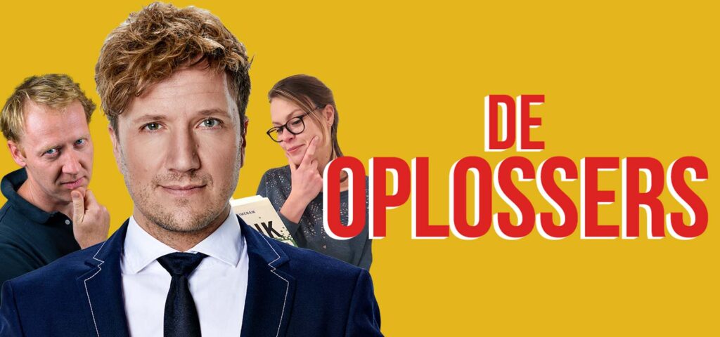
“Anchorman Klaas van Kruistum, Michiel Hulshof of Tertium and Claire van der Meer of the Universiteit van Nederland believe that every complex problem has a solution. And together we use the best of Dutch science to find it!”
.
In episode 2 of ‘De Oplossers’ of KRO-NCRV, Maurice Harteveld explains how the current harbour areas of Rotterdam could be the game changers in the housing crisis. Do we want to sacrifice the green pastures around the city or the harbour areas with large-scale polluting industries?
De Rotterdamse Haven als Oplossing
De Nederlandse woningschaarste manifesteert zich op alle fronten. Er zijn te weinig huurwoningen maar ook te weinig woningen voor starters, grote gezinnen en gepensioneerden. De hypotheekrente is laag, maar de woningprijzen rijzen de pan uit. En wie niet in aanmerking komt voor een sociale huurwoning betaalt zich blauw. Hoe zorgen we ervoor dat iedereen recht heeft op een geschikte woning?
.
“Presentator Klaas van Kruistum, Michiel Hulshof van Tertium en Claire van der Meer van de Universiteit van Nederland, denken dat elk complex probleem een oplossing kent. En gebruiken samen het beste van de Nederlandse wetenschap om die te vinden!”
.
In aflevering 2 van ‘DeOplossers’ van KRO-NCRV legt Maurice Harteveld uit hoe de huidige havengebieden van Rotterdam weleens de gamechangers in de Wooncrisis kunnen zijn.
Willen we het groene weiland om de stad opofferen of de havengebieden met de grootschalige vervuilende industrie?

where:
Episode #2 – Woningtekort
KRO-NCRV, NPO Radio 1
Friday 17 December 2021
.
Listen as podcast: NPO Radio 1 – De Oplossers, or via Spotify, Apple Podcast, Podtail, and Google Podcast.

Cross-Media Website: De Oplossers
More: KRO-NCRV Press Release

Images of Port-Cities

In this video, you will get an explanation on how mental maps help us to (re)imagine port-cities in two steps: First, by explaining generally why people draw what they draw, and second, by explaining how images of port cities, as displayed in mental maps, are rooted and influenced by cultural frameworks of experience, and how they are biased according to the particular background of the beholder.

This educational video is part of the course Re-Imagining Port Cities: Understanding Space, Society and Culture available for free via online-learning TUDelft , and at the EdX MOOC platform. ©️ TU Delft, released under a CC BY NC SA license.

See also: the introduction video on Mental Mapping and the full MOOC on EdX: (Re)Imagining Port Cities: Understanding Space, Society and Culture

Mental Mapping

In this video, you hear more about the concept of a ‘mental map’, the mapping method, or the underlying theory, and why it matters, and how you can use it to educate others.

But before you watch, choose a port-city, and do a small exercise: sketch a map of your port city from memory.

If you have trouble getting started, just imagine you are walking through your port city. What would you see on the way? Are there specific elements or landmarks that stand out? Those are the kind of elements to include in your map. And don’t worry about getting all the details exactly right, it is just a sketch…

  • Do this all by yourself: close your laptop, put your tablet to sleep, turn your smartphone around, do not consult any books, and do not talk to anyone…
  • Draw your map on a blank, unlined sheet of paper, and don’t spend more than ten minutes on this task!

    Don’t worry about details; this map is not meant to be perfect!

    This educational video is part of the course Re-Imagining Port Cities: Understanding Space, Society and Culture available for free via online-learning TUDelft , and at the EdX MOOC platform. ©️ TU Delft, released under a CC BY NC SA license.

    See also: the subsequent video on Images of Port Cities and the full MOOC on EdX: (Re)Imagining Port Cities: Understanding Space, Society and Culture

  • Inclusive Urban Design

    In this introduction video, MaartenJan Hoekstra and Maurice Harteveld introduce the issue of urban design and inequality on the neighborhood level and its public spaces. They look at the theory behind the question “does the increase of social mobility and mixing housing add to the inclusivity on the level of the neighborhood?”

    Continue reading

    Matter – Space – Change

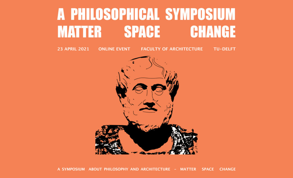
    When reasoning our material world emerged in cities, ‘matter’ was first to question. This is obviously what we see and what we can handle. This shapes our urban environment. Yet, in an arcadian search for beginning, origin, or first cause the lens was put on finding primordial substance; ‘arché’ (oersubstantie, urstoff, …). This informed the search to actuating principles (as a cause) in Aristotle. The subsequent cosmic search towards the genesis and structure of our world introduced the concept of a material substratum, an interval considered to be invisible and unshaped: ‘khôra’, chora, or space. The territory of the Ancient Greek polis outside the city proper. In Politeía, Plato relates it to the just city and just (hu)man. In these pioneering thoughts, public space is found. Continuously echoing today in understanding chora as a place of being a being or mediating between sensible and intelligible, it also introduced change… Public space isn’t static. People move, societies transform, humans age, generations follow…. This effects our thinking on public space.

    Who owns the public space?

    Join the online symposium ‘Matter – Space – Change’ on 23 April 2021.

    Continue reading

    B1ts of Publ1c Space

    As an opening for the Bits of Public Space 3.0 webinar, I have taken the audience along with a short story.

    Imagine: You are walking in a public space, and you are using your navigation app to meet at a place, which your friends suggested a few seconds ago on WhatsApp. Your headset is on. Noise is reduced. While walking, you’re traced and tracked; the shortest and fastest route is recalculated continuously, In the mean, a health app may record your cycles, Spotify remembers your music preferences, many other web-data fuel the algorithms, …and synchronically all kinds of devices around you sense your environment too. Every detail is collected for third-parties. Also webcams and what looks like cctv register where you are. They monitor your moves and avoid the unexpected to happen. This morning, the weather app has announced rain. Indeed, while clouds make it shimmer, your smart screen illuminates, and lamps turn on.

    You’re still walking… People don’t walk close. This makes you think of what you have read this morning: In some cities, drones are measuring social distance, today, and if too close, through image recognition big brother sends you a fine. – In the mean, a car is passing by smoothly. Your mind links it to the lecture on self-driving vehicles. They are keeping distance automatically… “Who is behind the wheel, btw?” You can’t see. Humanoids, perhaps…? Anyways.

    Back to your walk. You have to pay attention for a minute to the surrounding, while you are crossing a street. (Small sensors, have made traffic lights turn green for you.) You are starting to be curious to the place where your friends are waiting. They have been involved in the redesign of this meeting space. Some years ago, one would outline public spaces with computer-aided design. You remember how outcomes have always been presented in ‘sunny’ artist impressions. But, during its realisation, budget restrains always made such a plan somewhat more realistic… Today is a different world. Tools are innovating, and include components ranging from environmental analysis to robotic control. The old outlines may still work… Yet, simulations of human behaviour in space helps to understand complexity. The design of public space can be informed more accurately by our updated models, and digital twins. Automation and print-on-demand can still make old dreams happen. You have seen new video presentations of the place, where you’re heading to, on the internet; they are quite realistic. You’re convinced as a designer, your imagination benefits the people, but alike your friends, nobody is alone in design. Online meetings are integrating viewpoints of other experts and novice users. Webinars are bringing people, ideas, and living rooms, closer together. It may be enriching. Yet, the design of your friends may never be finished. Invitations by Zoom, Meets, Facetime, Webex, Slack, Trello, Miro, Messeger, or Teams are following up. #multionline #haveitall – Also, participatory platforms have invited as many users as possible, to join VR sessions and visit the augmented space, to be. Some of the users have replied and have worked within the framework of your friends, their concept of the future. But for some it was not enough… On Insta, some users have found a better idea. As pro-active citizens, they have organised themselves on social media, via transnational networks and microblogging they have got more inspiration. Tutorials have helped them to learn the trick. Public space design changes in a kind of grassroots development, including peer-2-peer exchange of probably two unfamiliar neighbours. The one simply likes gardening, the other orders always outdoor stuff on discount pages. The pro-active group of users co-create and make the space theirs.

    Thoughts fade away; You’re still walking…. Happy you. You are almost there, at the meeting place, where everybody seems active. You see your friends coming near. It’s a really nice place. Not as slick as you thought before, but you like it! “We would have liked to introduce a moving beam here…” on of your friend says: “People would love to sit on such a thing, really.” “It adjusts its position and form in accordance to their moods and likes”, the other adds… – You reply dry: “This bench works for me too”. While you are scanning the surrounding facades for heritage details, your friends starts to discuss hyperrealities, and phygital spaces …endlessly. In the mean, you are distracted by a piece of planting in front of you. It is a bid unorganised, and it seems organically grown, obviously added by the community. It looks like one of those greens, which you must have seen in ‘Spaceship Earth’, the movie, which you screened on your laptop, pay-per-view, during the opening night of the Architecture Film Festival Rotterdam, last month. After a long chat on the ‘future on being’, you really want to leave again. Your eyes are dry and your mind is tired. You are suggesting to play more together next time and relax a bit. You have heard that they have launched a brilliant new ‘massive multiplayer online role-playing game’ Then everybody leaves, and walks away

    This is the end of my story…

    What do you think: How have you listened to the story: Have you been walking and talking in reality? Or was it your avatar in cyberspace? Near everything in this story is out there. It affects your profession everyday as an designer. Everything is existing as real space as well as virtual space

    This story is recorded with a live audience via YouTube on Friday, November 5th, 2.00 – 9:00am CET. – The webinar has been part of the initiative the POLIS Urbanism and Landscape Architecture Week, of Polis

    Digital, Virtual, and Physical

    Physical Public Space X Virtual Space

    Urban designers and landscape architects observe physical public spaces as spaces that are able to accommodate accidental meetings, reveal places’ identity, provide impulsive on-the-spot choices, and allow human-nature interaction through wind or sunshine. However, the recent crisis unfolds the intertwining between physical public space and virtual space. During two days, we focus on the shift of the planner’s outlook on physical public space and virtual space.

    Join the webinars!
    When: Thursday, November 5 and 6, 9.00am – 6.00pm CET
    > Registration


    Bits of Public Space 3.0: Trailer, published by Polis on YouTube
    Video credits: Ioanna Kokkona

    Continue reading

    Architectural and Urban Design for Values

    In a Dies Satellite Event celebrating the 178th anniversary of the TU Delft, the Faculty of Architecture and the Built Environment introduces their collaborative research on values to a wider audience, as it is present and emerging within its rich set of disciplines, including architectural and urban design, building technology, process management, and geo-information science. The faculty answers on the questions: How to deal with value dynamics when designing for values? How can we successfully operationalise values to inform design decisions, whilst anticipating possible value changes? How does the theory apply to specific application areas, such as architecture and urban design?
    Continue reading